Take 2: Death by a Thousand Cuts
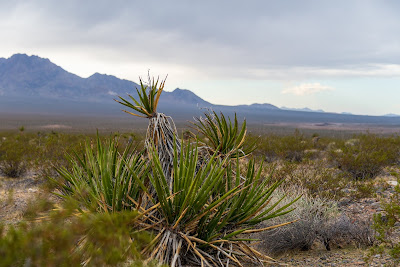
I posted in July about hundreds of square-miles of wind and solar projects that threaten to transform Southern California's deserts and mountains into a giant industrial zone. Included in that was a BLM map showing those project locations, but I felt that map was missing the landscapes and lifestyles that will actually be impacted by the proposed projects. I put together my own version of that BLM map, which depicts the same projects and impacts, but with Google Earth you can see the mountains and valleys that will be interrupted by towering wind turbines and the tarps of steel and glass we call renewable energy.
My map does not pretend to follow exact boundaries, but each project is roughly the size depicted on the BLM map. Wildlife, travelers, naturalists, tourists, hikers, campers, and rock hounds wont notice a 20 meter difference in the boundary when a project is several miles across. The result is a sick sort of art, showing the planned destruction of "God's cathedrals."
Hundreds of square-miles of planned wind and solar projects, and this is just the beginning:
View Solar and Wind in CDD in a larger map
The BLM wind and solar project map as of July 2011:
July 2011 Renewable Energy Application Map


Comments
Post a Comment